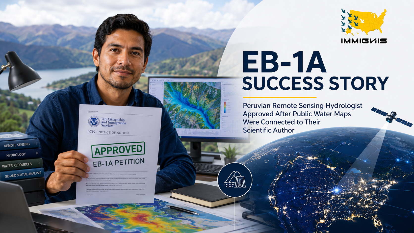
How a Peruvian remote-sensing scientist secured hydrologist EB-1A approval by turning dataset authorship, agency reliance, hydrology publications, Earth-observation network roles, peer review, conference presentations, and climate-media coverage into a documented record of extraordinary ability.
Key facts at a glance
| Petition outcome | Form I-140 approved under EB-1A on October 31, 2024. |
| Professional profile | Peruvian scientist using satellite data to monitor drought, snowpack, watershed change, and water availability across Andean water systems. |
| Field niche | Satellite hydrology for high altitude water-security forecasting. |
| Starting weakness | Agencies and communities used the maps, but personal authorship was diluted across dashboards, multinational projects, shared datasets, and collaborative publications. |
| Profile building focus | Dataset-authorship documentation, agency-use records, hydrology publications, Earth-observation network roles, peer review, conference presentations, climate media coverage, and project-attribution evidence. |
| Principal EB-1A evidence areas developed | Original contributions of major significance, authorship of scholarly articles, judging the work of others, leading or critical role, and published material about the petitioner. |
| Central issue | Showing that the petitioner did not merely access satellite data or prepare routine maps, but exercised identifiable scientific judgment that other researchers and institutions relied upon. |
| Approval lesson | Public environmental data can support EB-1A when the record identifies its scientific author, documents independent use, and connects publications, peer trust, leadership, and media recognition to the same defined field. |
The maps were public The scientific judgment behind them was not.
The petitioner helped turn satellite observations into practical information about drought, snowpack, watershed change, and water availability across high-altitude Andean systems. Agencies and communities could see the maps. What they could not easily see was the scientist who selected the data, built the method, tested the assumptions, and decided how uncertain signals should be interpreted.
That distinction mattered. A public dashboard may look like an institutional product, even when one scientist shaped the analytical framework on which the product depends. Shared datasets, multinational projects, and team authorship made the work useful at scale, but they also made individual credit difficult to trace.
USCIS approved the Form I-140 petition on October 31, 2024. Immignis and Advance My Profile organized the record around a direct question: who was responsible for converting remote observations into water-security intelligence that other people could use?
Why satellite hydrology creates an unusual EB-1A evidence problem
Remote-sensing hydrology sits between Earth observation, atmospheric science, snow and ice monitoring, watershed modeling, geographic information systems, statistics, and public decision-making. The work may begin with pixels, but its value depends on scientific choices about calibration, validation, scale, error, and interpretation.
A satellite can observe reflectance, temperature, elevation, moisture, or surface change. It does not automatically produce a trustworthy conclusion about drought severity, seasonal snow storage, streamflow risk, or the condition of a mountain watershed. Those conclusions require methods that connect remote measurements to physical hydrology and local conditions.
The petition defined the field as satellite hydrology for high-altitude water-security forecasting. That narrower description kept the case from becoming a general environmental science petition. It also explained why dataset authorship, agency use, peer review, and cross-border Earth-observation roles were meaningful evidence in this particular field.
Dataset authorship gave the public dashboard a scientific owner
The most important profile-building step was to document authorship of the underlying data products and analytical workflow. Public maps often display an agency logo, a project title, or a consortium name. Those labels do not identify who selected the variables, developed the processing sequence, resolved data gaps, or established the rules used to classify changing water conditions.
The petition therefore separated access to raw satellite data from authorship of a usable hydrological dataset. It documented the petitioner’s role in assembling, cleaning, validating, integrating, or interpreting the information. Where the work was collaborative, the record identified which parts depended on the petitioner’s own judgment.
This evidence did more than show participation. It connected the petitioner to the numbers and maps on which later reports, forecasts, and policy discussions relied. Dataset authorship became a practical way to show original contribution without pretending that every public product belonged to one person alone.
Agency use records showed that the work was relied upon outside the research team
Government and institutional use was documented carefully. The petition did not argue that every public-sector reference proved major significance. It looked for clearer evidence of reliance: recurring use, incorporation into monitoring routines, requests for updated analysis, use in planning discussions, or dependence on the petitioner’s interpretation when conditions changed.
Letters and records were most useful when they explained what decision the information supported. A general statement that the maps were “valuable” would have carried little weight. A stronger record described how the petitioner’s dataset or method helped evaluate drought, snowpack loss, reservoir risk, watershed conditions, or seasonal water availability.
This material supported the original-contribution and leading-role narratives because it showed that the petitioner’s work moved beyond internal research. Other organizations used it to understand conditions they could not monitor adequately through ground observations alone.
Publications connected operational maps to a durable scientific record
Scholarly articles helped explain the science behind the maps. They provided a public record of the petitioner’s methods, validation approach, hydrological interpretation, and findings. The petition organized the publication evidence around the defined field rather than presenting a disconnected list of papers.
Authorship was documented separately from citation impact. First-author work provided a clear attribution signal, but collaborative papers were also useful when the petitioner’s contribution could be identified. The record explained which dataset, model, regional analysis, or validation task the petitioner supplied.
This distinction mattered in multidisciplinary environmental science. A long author list does not make a contribution invisible, but the petition must do the work of explaining it. Publications became stronger when paired with contribution statements, data records, project documentation, and letters from scientists who understood the petitioner’s role.
Peer review showed that other scientists trusted the petitioner’s judgment
Peer-review service was presented as judging the work of others, not as a decorative academic activity. The record identified the journals, submissions, proposals, or technical materials reviewed, along with evidence that the petitioner was selected because of relevant expertise in hydrology, remote sensing, climate analysis, or Earth observation.
The petition did not assume that a review invitation alone proved extraordinary ability. It documented actual completed reviews and explained how the subject matter related to the petitioner’s field. Repeated requests were especially helpful because they showed ongoing professional trust.
Judging evidence also complemented the publication record. The petitioner was not only producing research. Other professionals relied on the petitioner to evaluate whether scientific work in the field was sound, useful, and ready for publication or support.
Earth-observation network roles extended recognition beyond one institution
International Earth-observation and hydrology networks helped show that the petitioner’s expertise traveled beyond a local project. The most persuasive records were not simple membership certificates. They documented substantive roles in working groups, data initiatives, technical exchanges, coordinated monitoring efforts, or regional research programs.
These roles were evaluated according to what the petitioner actually did. Ordinary professional membership was not treated as an achievement-based EB-1A criterion. Where a role involved technical selection, responsibility, or review, the petition explained the standards and the work performed.
This approach kept the evidence accurate while still showing professional recognition. It also placed the Andean work within a larger scientific conversation about satellite monitoring, mountain water systems, drought, and climate-related change.
Conference presentations made the methodology visible to the field
Conference records were organized by substance rather than attendance. The petition documented invited talks, competitively selected presentations, panel roles, or technical sessions in which the petitioner explained methods, datasets, validation problems, or watersecurity applications.
This public record helped bridge the gap between operational work and scientific recognition. A dashboard can be used without anyone knowing how it was built. A technical presentation gives the scientist an identifiable voice and allows peers to examine the reasoning behind the result.
The evidence also distinguished between presenting a team project and being recognized for personal expertise. Speaker invitations, session responsibilities, and repeated requests to explain the work were more useful than a conference badge or general program listing.
Climate media coverage translated technical work without overstating it
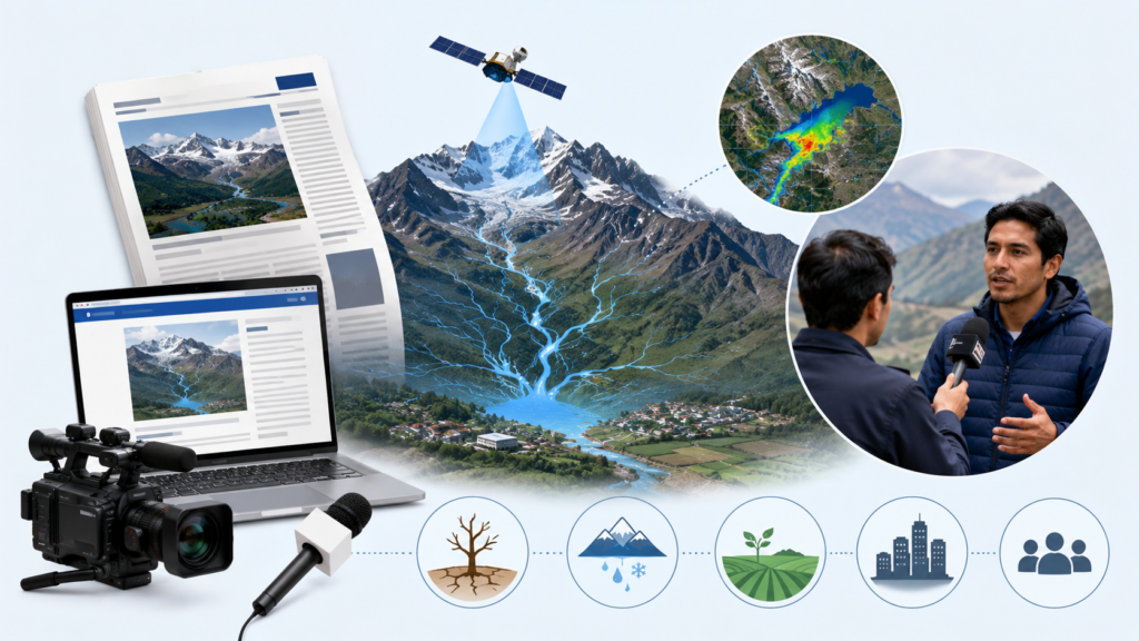
Media coverage helped readers understand why high-altitude water monitoring mattered. It connected remote-sensing analysis to practical questions about drought, changing snow conditions, watershed stress, agriculture, cities, and communities that depend on mountain water.
The petition used media evidence cautiously. General articles about climate change or Andean water scarcity did not count as published material about the petitioner. Qualifying coverage had to discuss the petitioner and the petitioner’s work in a meaningful way.
This distinction prevented broad public concern from replacing personal evidence. The importance of water security provided context. The published material still had to show that independent writers recognized the petitioner’s own work and expertise.
Leading role was shown through responsibility for a functioning information system
The leading-role argument focused on decisions and accountability. The petition identified where the petitioner controlled or shaped the analytical workflow, coordinated data production, resolved methodological questions, guided validation, or supplied interpretation that agencies and collaborators depended upon.
That evidence was stronger than a title alone. In technical programs, the person who maintains the integrity of the dataset or forecasting method may exercise critical responsibility even without appearing at the top of an organizational chart.
The record also documented the distinction of the projects and organizations involved. USCIS was not asked to infer that any public dashboard was automatically distinguished. The petition explained the reach, purpose, users, and scientific relevance of the work, then connected the petitioner’s role to those characteristics.
The final merits argument relied on convergence
No single map, publication, review request, presentation, network role, agency letter, or media article carried the case. Dataset records established authorship. Agency use showed reliance. Publications documented scientific contribution. Peer review showed trust. Network and conference roles demonstrated recognition beyond one employer. Media coverage made the work independently visible.
Together, these materials showed a sustained pattern. The petitioner had not merely downloaded satellite images or prepared routine maps. The record showed repeated responsibility for turning complex observations into hydrological information that other researchers, institutions, and water stakeholders could use.
Why this case worked
The case treated attribution as an evidence problem that had to be solved before significance could be argued. Public access to a map did not identify its scientific author, so the petition reconstructed the chain from raw observation to validated water-security information.
The field was defined precisely. Satellite hydrology for high-altitude water-security forecasting gave the evidence a coherent frame and prevented broad climate importance from doing work that belonged to personal achievement evidence.
Different categories were kept separate. Publications authored by the petitioner were not confused with published material written about the petitioner. Ordinary network participation was not presented as achievement-based membership. Peer review was documented as completed judging activity, not merely an invitation.
Most importantly, the petition showed independent use and professional trust. The maps were visible to the public, but the approval record made the scientific judgment behind the pixels visible as well.
What hydrologists and remote sensing scientists can learn from this approval
Scientists who create public datasets should preserve authorship while the work is being developed. Version histories, data dictionaries, processing documentation, contribution records, repository information, validation reports, and project correspondence may later become essential evidence.
They should also document use, not only publication. Agency requests, recurring incorporation into monitoring systems, technical reliance, training records, and independent references may show how a dataset or method functions beyond the original research group.
Ethical profile building does not create scientific impact that did not occur. It organizes existing work, improves lawful attribution, develops accurate public explanations, and helps a strong but diffuse record become understandable under the EB-1A framework.
Frequently asked questions
Can a remote sensing hydrologist qualify for EB-1A?
Yes. A hydrologist may qualify when the evidence satisfies the regulatory criteria and, viewed together, shows sustained acclaim and standing among the small percentage at the top of the defined field.
Can a public dashboard or map support an EB-1A petition?
Potentially. The evidence should identify the petitioner’s role in creating the dataset, method, processing workflow, validation system, or interpretation behind the public product. Public availability alone does not establish personal authorship or significance.
How can dataset authorship be documented?
Useful records may include repository histories, data-management plans, technical documentation, contribution statements, internal approvals, version records, project correspondence, published data papers, and letters from collaborators with direct knowledge.
Does agency use prove an original contribution of major significance?
Not automatically. The petition should explain what was used, by whom, for what purpose, how often, and why the use mattered. Independent reliance and measurable adoption are generally more persuasive than a general statement of usefulness.
Can collaborative hydrology papers count as scholarly articles?
Yes. The record should document authorship and explain the petitioner’s identifiable contribution, particularly when a paper has many authors or combines remote sensing, field hydrology, climate science, and modeling.
What peer review activities may support the judging criterion?
Completed review of journal manuscripts, research proposals, conference submissions, datasets, technical reports, or other professionals’ work may qualify when the selection, subject matter, and completed duties are documented.
Does membership in an Earth observation network satisfy the membership criterion?
Not by itself. Ordinary participation should not be overstated. The membership criterion requires admission based on outstanding achievements judged by recognized experts. Substantive network roles may still support leading role, judging, or final merits when documented accurately.
Can conference presentations strengthen a remote sensing EB-1A case?
Yes, especially when the presentation was invited, competitively selected, or connected to a substantive technical role. Attendance alone carries limited weight.
What counts as published material about a hydrologist?
Qualifying material generally discusses the petitioner and the petitioner’s work in professional, major trade, or major media outlets. General articles about drought, satellites, or climate change are not enough if they do not meaningfully cover the petitioner.
How can a scientist prove a leading role without a management title?
The evidence may show control over methodology, data integrity, validation, interpretation, coordination, or decisions that were essential to a distinguished project or organization. Actual responsibility matters more than title alone.
Does work on water security automatically establish extraordinary ability?
No. Water security provides important context, but the petition must still prove the petitioner’s own achievements, recognition, influence, and standing in the defined field.
Can media coverage help explain technical satellite-hydrology work?
Yes, when it accurately discusses the petitioner and the petitioner’s work. Media coverage can make a specialized method understandable, but it should not replace technical evidence of authorship, use, and significance.
How can ethical profile building help a scientist whose credit is spread across projects?
It can organize contribution records, preserve dataset authorship, develop accurate technical publications, document peer review and conference roles, obtain specific letters, and connect independent use to the petitioner without inventing achievements.
Make the scientific judgment behind public water maps visible
A strong remote sensing hydrology record may already exist across datasets, processing scripts, validation reports, agency requests, publications, network roles, peer reviews, presentations, and public maps. The main problem may be that these materials do not yet identify one coherent scientific contribution.